Web Design
California
CA02-0587R
CA01-0586R

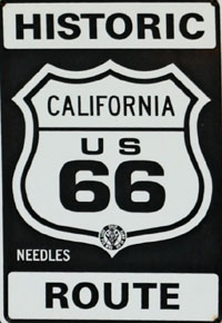
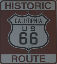
In California in addition to the standard Historic Route 66 signs (left) you will also encounter local signs like the one above from Needles.

CA03-0581R

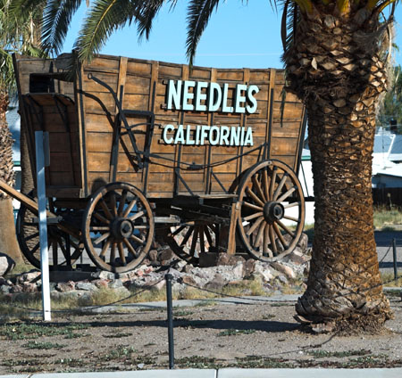
As you drop down from the mountain you cross the Colorado River you enter California and reach Needles where the wagon welcomes you.

You are now in the desert and even though it was late September it was about 100 when I got to Needles!

CA04-0589R
CA05-0590R

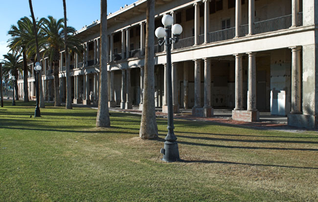
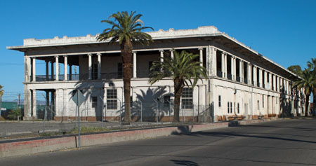
Needles, like a number of places, has a railway station whose grandeur is at odds with the current use of the railways.

This magnificent structure, which includes a hotel, is being restored to its former glory.

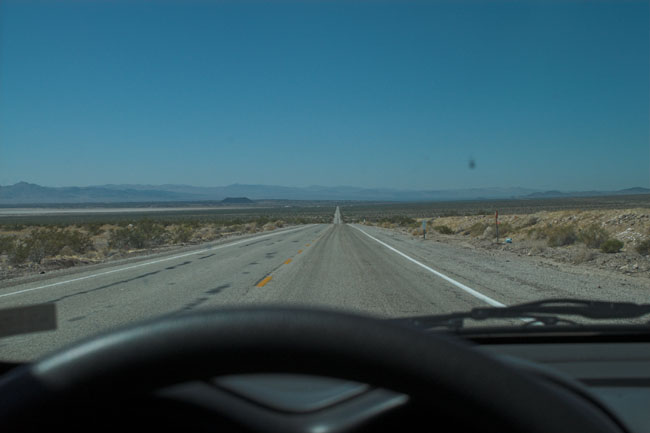
Once you head west out of Needles it’s back to the open and empty road.

CA06-0598R

Like the rest of Route 66 the road through California is littered with the remains of businesses, and in some cases towns, that did not survive the decline of the road once the Interstate was built.

CA07-0600R

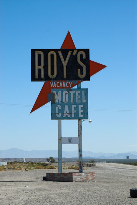
This is Roy’s at Amboy. It had recently been purchased by the owner of a restaurant chain who plans to bring it back to life.

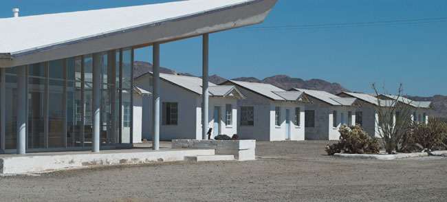
According to the newspaper article fastened up inside one of the buildings it cost $425,000 to purchase the 690 acres including Roy’s itself, the cafe and motel (shown below), gas station, airplane hanger and church.

At it’s peak there were about 800 people in Amboy, the current population is estimated at 10!

CA08-0601R

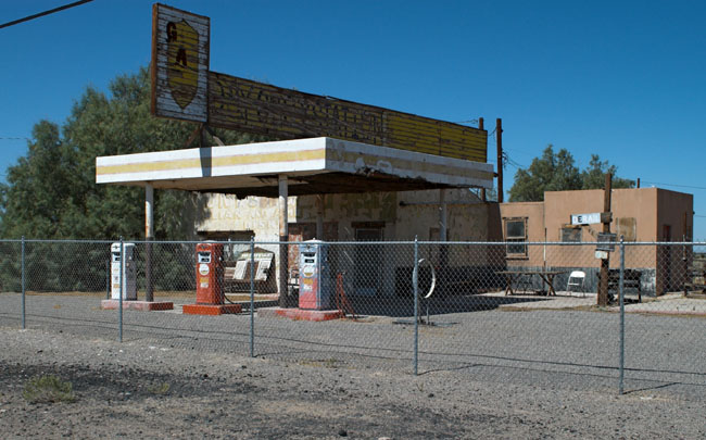
A little further along as you get to Newberry Springs where there is this reasonably well preserved Whiting Brothers Gas Station, one of the few signs that remain of what was once a substantial chain of stations.

CA10-0604R

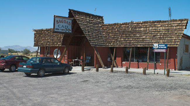
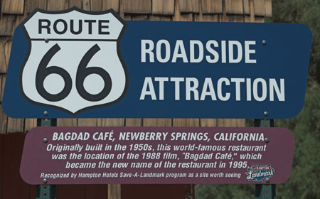
Also in Newberry Springs is the Bagdad Cafe which was the scene for the film of the same name.

CA11-0606R
CA13-0605R

Originally this was called the Sidewinder Cafe but changed its name to Bagdad Cafe in 1995.

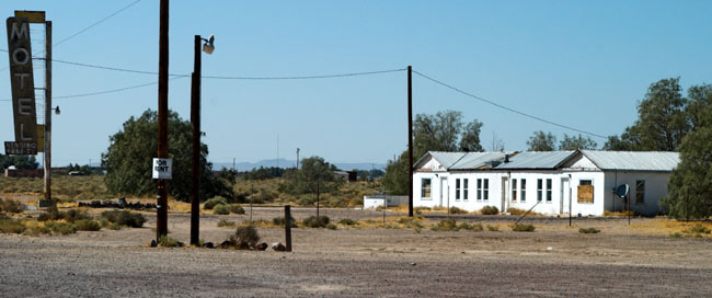
The motel below, now closed, also featured in the film.

CA12-0608R

You might ask, why didn’t they film Bagdad Cafe in Bagdad which is only a few miles east of Newberry Springs. The answer is simple, Bagdad just vanished and now seems to consist of two road signs, a tree, a railway siding and a cemetery.

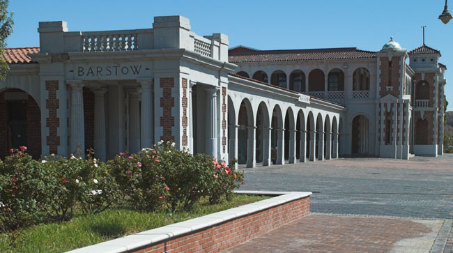
Carrying on west the next major place is Barstow which features another of those huge and lavish railroad stations and hotels.

CA14-0640R
CA15-0652R

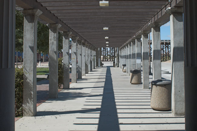
This is the covered walk coming out of the main building where, I presume, you could sit and wait for your train.

CA16-0654R

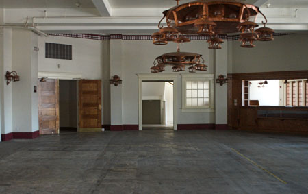
This is one of the rooms of the station photographed through the window.

Note the rather ornate lamps and fittings.

The station includes a Route 66 and a railroad museum though they are not open every day and they were closed when I passed through.

From Barstow I carried on along Route 66 curving south to go down through San Bernardino. Unfortunately I hit San Bernardino during the rush hour so had to concentrate on getting through it in one piece hence no photographs.

CA17-0613R

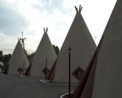
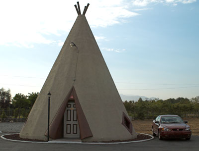
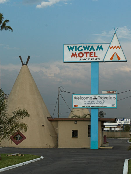
After San Bernardino I headed west to Rialto where I stopped at the other Wigwam Motel on Route 66.

The new owners have totally renovated the motel and it is a convenient jumping off place for the final leg to Santa Monica.

You can see the motel on Google Maps - look on W. Foothill Blvd (66) between N Pepper Ave and N Meridian Ave.

CA18-0612R
CA19-0610R

The Wigwam Motel went through a lean spell when Route 66 was bypassed and had to find new customers.

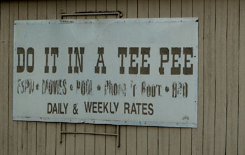
The new owners have preserved the old sign with its distinctive slogan!

CA20-0615R

The remaining run from Rialto to Santa Monica is only around 80 miles but you run through heavily built up and busy areas, I found it took about 3 1/2 hours to do it. You also pass through just about every sort of community from expensive suburbs to light industrial, from rather run down urban areas through Hollywood to Beverly Hills. You need a good map to follow Route 66 through a complex set of twists and turns.

But eventually I made it and there ahead of me was the end of Route 66.

CA21-0629R

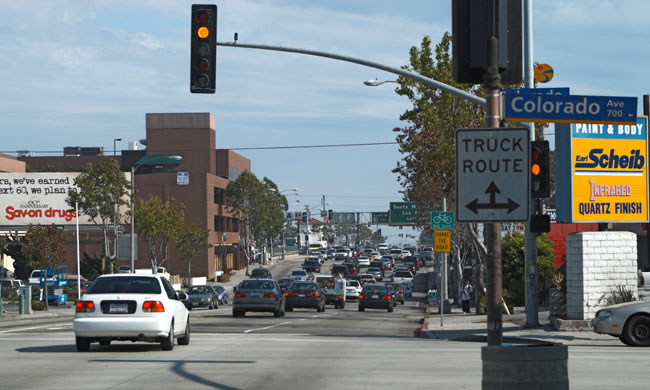
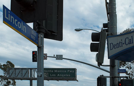
This photograph is looking down Lincoln Blvd. towards the official end of Route 66 at Olympic - the actual end it is about two blocks ahead at the second of the green Interstate signs for the Santa Monica Freeway. This was as near to the end as it was possible to stop the car.

CA22-0628R
CA23-0625R

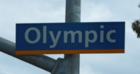
This photo is taken at the actual end of Route 66, the Olympic sign (under the Denti-Cal awning) is partly blocked so by the traffic lights so there is a separate photograph of it above.

The end of Route 66 is even less satisfactory than its start back in Chicago, as far as I could see there was no indication this was the end of Route 66.  I did what everyone else does and headed down to Ocean Ave. and back to the Santa Monica Pier that makes a better end of an epic journey.

CA24-0618R
CA25-0622R

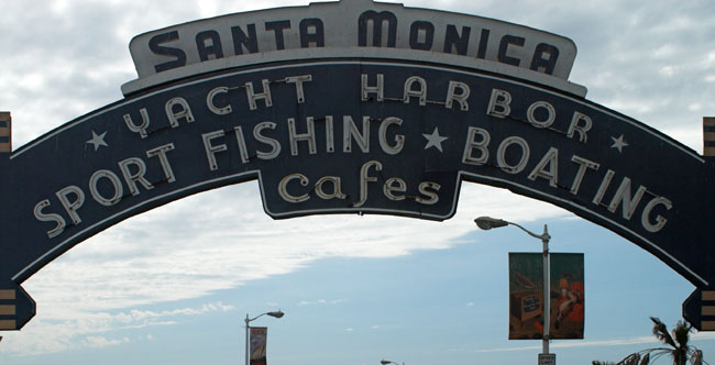
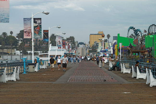
A couple of views of the pier one from the ocean end (above) and the other from the park overlooking the ocean (below).

CA26-0632R

And that was it Chicago to Santa Monica on the old road.

CA27-0617R

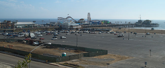
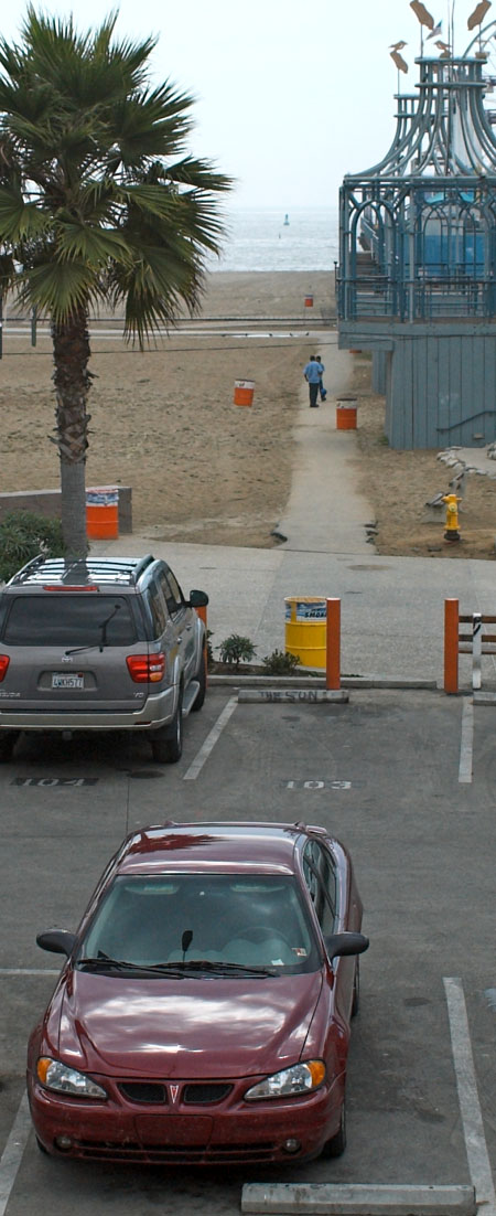
Here is the GrandAm resting after 3000 miles in a car park just back from the beach at Santa Monica with the Pacific Ocean in the distance.

Despite road works (they ripped the surface off 20 miles of highway in Illinois), wrong turns, high gas prices, roasting temperatures (the only cool day was in Santa Monica where it was 70 and poured with rain) the GrandAm never missed a beat.


The only thing to do now was to fill up with gas and head for the midwest - but that is another story.

The End of the road

Click here to go back to the Route 66 introduction page

Go to top of page

[New Wildwood] [Contents] [Route 66] [Western Odyssey] [South East USA] [Round the World] [Why Wildwood?] [Site Status and News]