|
|
|||||
 |
|
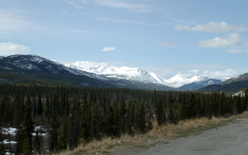
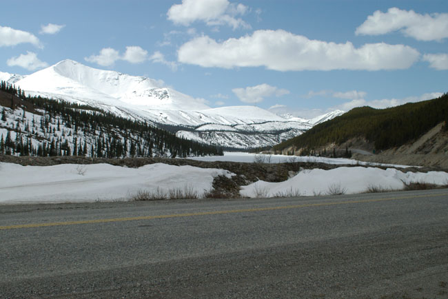
After leaving Kiskatinaw Bridge I headed north up the Alaska Highway with some 1,400 miles to go. The first thing I noticed (other than the deserted roads) was how cold it looked - and this was May. Here is a typical view showing the mountains covered with snow. |
|||||||
 |
|||||||
|
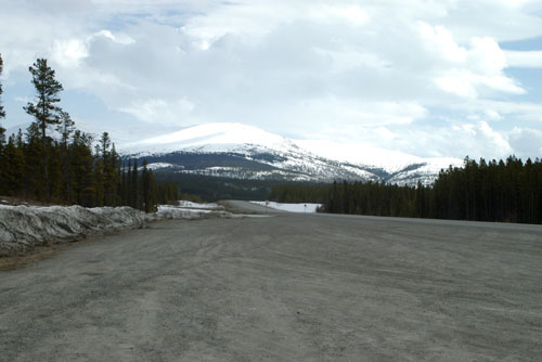
In this picture the flat area is a frozen lake. |
|||||||
 |
|||||||
|
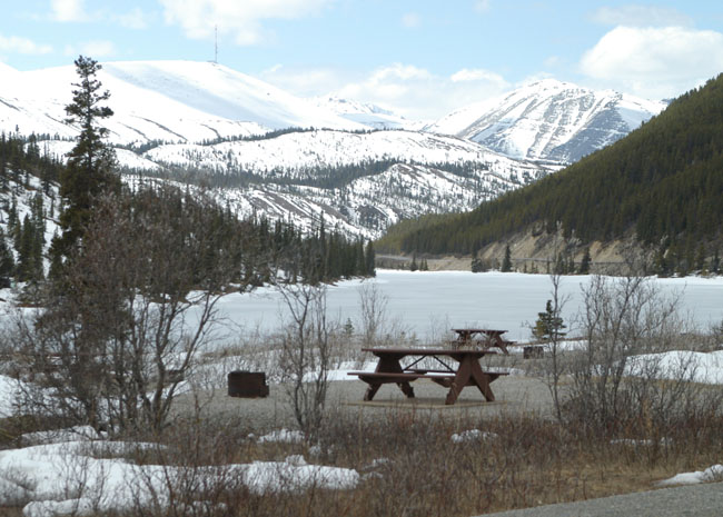
A few miles on I came to a (closed) camp site and picnic area, this was actually at the other side of the lake in the picture above. |
|||||||
 |
|||||||
|
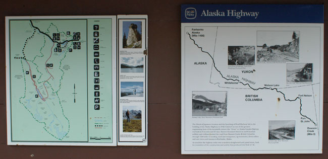
In the picnic area was a shelter with two maps showing the area (see below). The map on the left showed a number of walking trails (all still under snow) and the one on the right shows the Alaska Highway. I was somewhere close to the point where the road kinks right and heads due north. One thing this map shows clearly is how the Alaska Highway wobbles back and fro between British Columbia and the Yukon until finally heading North West. |
 |
|
|
|
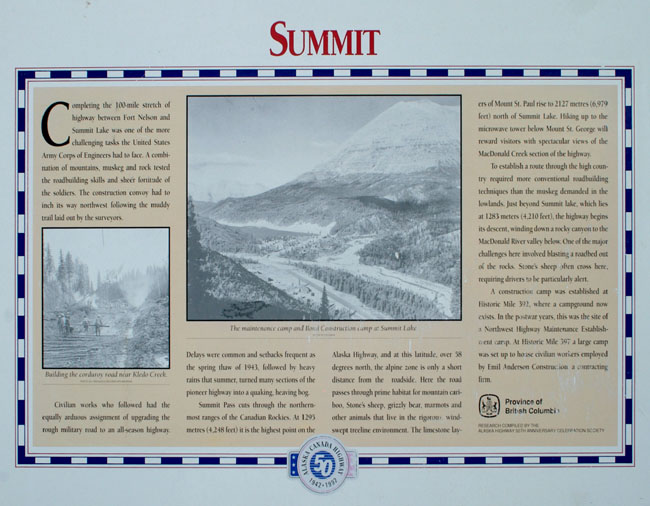
However, there is rather more to it as to get here the Alaska Highway has climbed through the foothills and into the Rocky Mountains. This is the highest point on the Alaska Highway at 4,250 feet but, rather oddly, the Continental Divide is not here but is miles to the west in the Yukon. The picture below shows the Summit information board from the picture above. |
 |
|
|
|
|
|
|
|
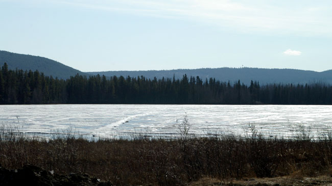
After a bit of going back and fro between British Columbia ends and the Yukon I finally settled into the Yukon and headed for Watson Lake (apparently the third largest community in the Yukon). I drove past this huge frozen lake, that I assume gives the place its name, and into the town,. |
 |
|
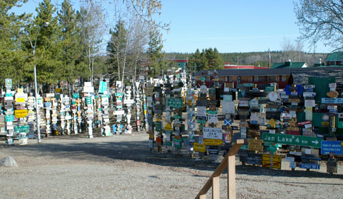
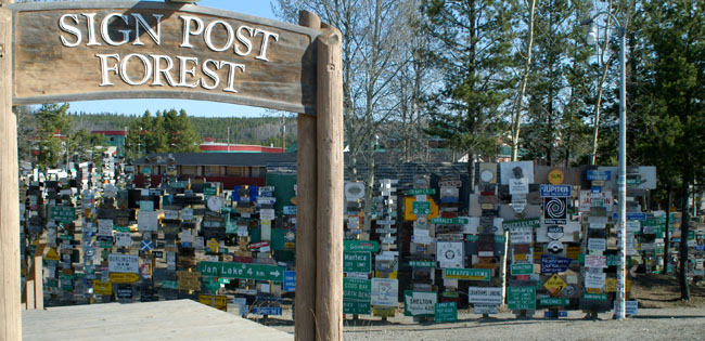
Watson Lake is located at Historic Mile 635 on the Alaska Highway and while in the Yukon is quite close to the British Columbia border. Of particular note is the Signpost Forest which was started in 1942 by a homesick G.I. who working on the Alaska Highway and put up a sign with the name of his home town and the distance. Others soon followed suit and the tradition continues to this day. |
 |
|
|
|
|
|
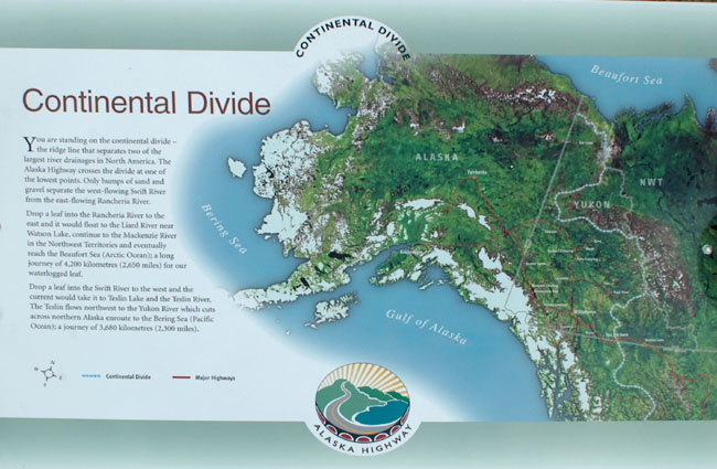
A short way up the road I finally reached the Continental Divide at about the 700 mile point (rather strangely there didn’t seem to be a Historic Mile marker here) with this information sign to mark the point. The Rockies here are quite modest mountains and the Alaska Highway crosses the divide at one of the lowest points. |
 |
|
|
|
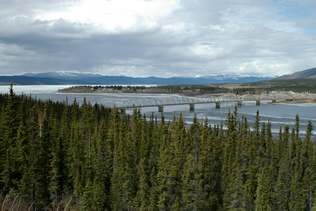
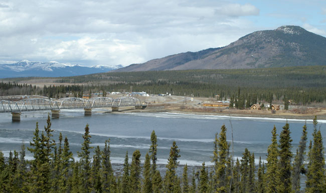
At last signs of civilisation with the multi-span bridge (the Nisutlin Bay Bridge) carrying the Alaska Highway over Teslin Lake into the community of Teslin. |
 |
|
The village of Teslin with the snow free mountains beyond, both welcome sights to the traveller (food, gasoline and good driving conditions). Teslin is at Historic Mile 804 on the Alaska Highway and originated as a Hudson's Bay Company trading post set up in 1903. |
 |
|
A page break at this point to build up strength for the bright light of Whitehorse which with around 20,000 people is by a huge margin the biggest place in the Yukon (and has around half the population of the territory). As might be expected Whitehorse is the capital of the Yukon. |
| [New Wildwood] [Contents] [Route 66] [Western Odyssey] [South East USA] [Round the World] [Why Wildwood?] [Site Status and News] |
