|
|
|||||
 |
|
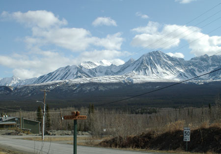
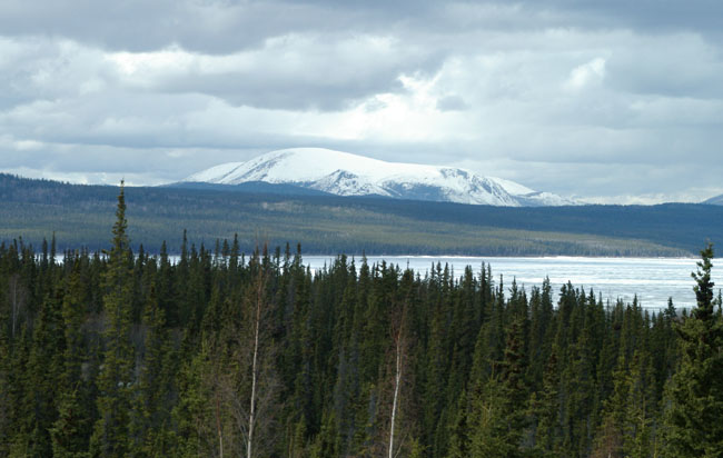
Leaving the bright light of Whitehorse behind it was on north up the Alaska Highway. Snow on the mountains and a frozen lake (plus lots of trees), a reminder that you are out in the wilds. |
||||||
 |
||||||
|
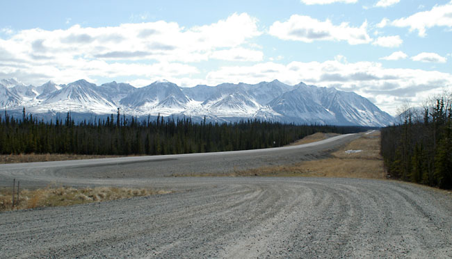
The road hasn’t got any busier and the mountains don’t look very inviting. |
||||||
 |
||||||
|
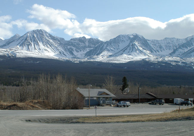
A welcome sight of human habitation and food (but no gas). |
 |
|
|
|
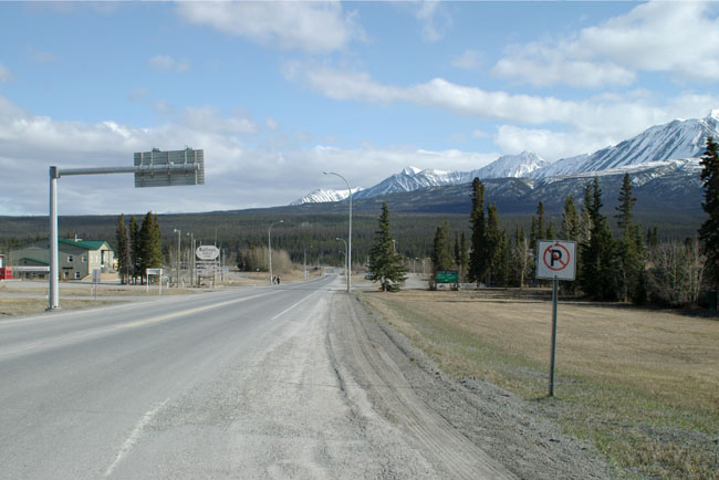
In 1943 a second highway, the Haines Highway, was built to connect the Alaska Highway with the coastal town of Haines, Alaska over the Chilkat Pass. The town gets its name from being the site of that junction. This is another view of the (empty) road into the town, it had the first large street signs I had seen for hundreds of miles. |
 |
|
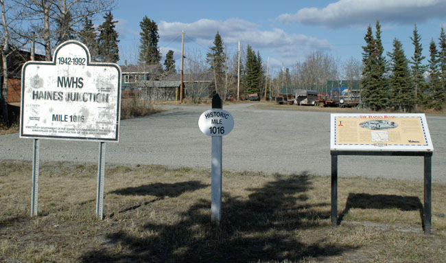
In the centre of the town is this set of signs indicating that I’m at Historic Mile 1016, just a few hundred miles to go. |
 |
||||
|
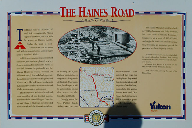
The information board from the above photograph showing the road under construction. |
||||
 |
||||
|
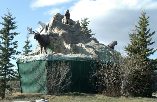
In the centre of Haines Junction, near the signs shown above, is the Village Monument, a sculpture depicting a mountain setting with local wildlife . |
 |
|||||||
|
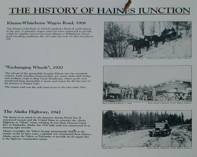
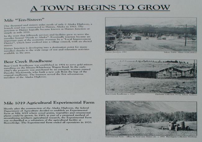
Nearby are a pair of information boards that show the evolution of the town with interesting period photographs. |
|||||||
 |
|||||||
 |
|||||||
|
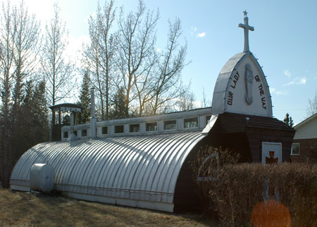
One this you notice when you get this far is that everything gets reused. I assume that this is a reflection of the sheer cost and difficulty of moving things up here. |
|
|
| [New Wildwood] [Contents] [Route 66] [Western Odyssey] [South East USA] [Round the World] [Why Wildwood?] [Site Status and News] |
