|
|
|||||
 |
 |
|
|
||||||||||||||||||||
 |
|
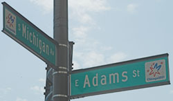
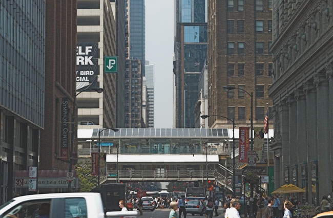
The first part of the journey down Adams Street is typical big city stuff, traffic, pedestrians, police, elevated railways etc. The photograph above is a the view from the junction with Michigan Ave and, if you have good eyesight, there is a tiny “Begin Route 66” sign there. I never saw it when I was driving, it was only while looking at the photographs it was revealed (Clue: look to the right hand side by the red banner). |
|
|
 |
|
|
|
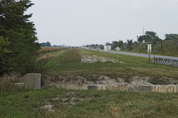
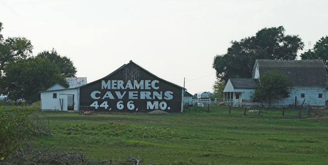
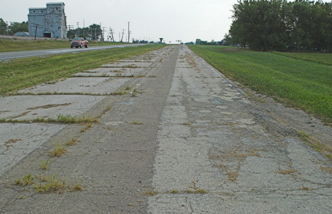
Route 66 is now running through open country with an older (and narrower) alignment of the road on your right running parallel with you for mile after mile. Before you get to the town of Pontiac there is the Meramec Caverns Barn (the actual caverns are in Missouri, this is an advert for them which has been painted on a barn here since around when Route 66 was created). |
 |
|
There is a pull in to allow you to view the barn in safety which actually allows you to drive a short distance on this older alignment of the road. |
 |
|
|
|
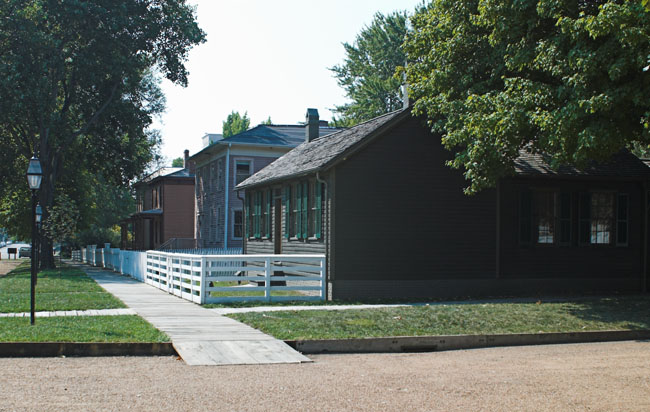
The next major place on the road is Springfield which is largely given over to the memory of Abraham Lincoln. Some of it is done in rather a “heavy” commercial style but I found the Lincoln Museum and the restored streets around Lincoln’s house well worth a visit. |
 |
|
Some of the restored houses in the area around the Lincoln House, note the wooden sidewalk. |
 |
|
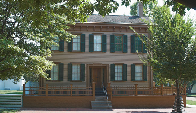
This is the Lincoln House, tours of it are managed by the National Park Service. |
|
|
 |
|
I was now nearing the western edge of Illinois and there are several possible routes to follow. I decided to try out the famous Chain of Rocks Bridge that has been reopened for pedestrians only. |
|
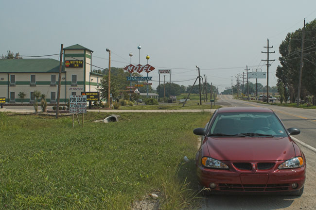
As I drove towards the bridge there were some heartening signs of new commercial activity in the area. Unfortunately the new Motel did not put up a traditional neon sign to match the older ones behind it. And yes that is my trusty Pontiac GrandAm that I would get to know well over the coming weeks (note that front number plates are optional). |
 |
|||||||||||||
|
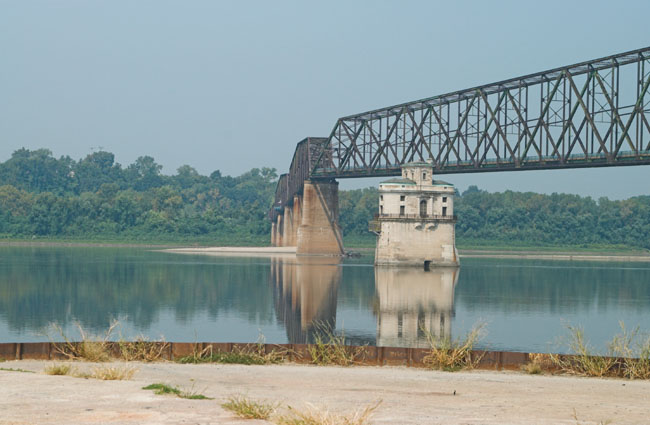
Before you get to the bridge proper you cross over the Chain of Rocks Canal and then there is an unmarked road to the left (it’s also unpaved and rather steep) that brings you to the bank of the Mississippi. |
|||||||||||||
 |
|||||||||||||
|
You’re not seeing things, the bridge does have a bend in it! The white building is a very stylish water extraction point, you can see the river is low. The photo may appear hazy in the distance, it was 8:30 in the morning and the temperature was approaching 90 - I think the river was evaporating. |
|||||||||||||
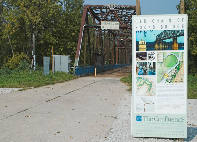 |
|||||||||||||
|
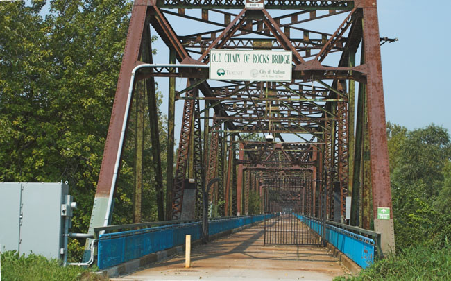
This is the start of the bridge on the Illinois side. If you think it looks narrow it is, according to some local residents I spoke to in its final years there were traffic lights and alternate one way working. |
|||||||||||||
 |
|||||||||||||
|
A better view showing just how narrow the bridge is. |
|||||||||||||
 |
|||||||||||||
|
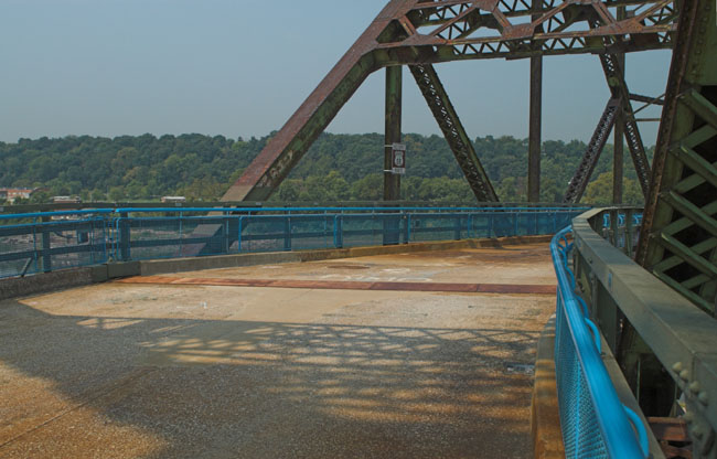
Here is the bend in the bridge seen from the inside. Just imagine encountering this in an overloaded Model A at night in the rain with traffic coming towards you! There is a Missouri Highway 66 sign on the central pillar, the border is just about in the middle of the bend. |
|||||||||||||
|
A final bit of trivia: the Chain of Rocks Bridge was featured in the film “Escape from New York” standing in for the 69th Street Bridge. There are vestiges of this film still to be found, if you look carefully you can still see “Security” markings on the bridge deck, just keep an eye out for “Snake”. |
|
Now it’s on to Missouri |
|||
|
Go to top of page |
|||
| [New Wildwood] [Contents] [Route 66] [Western Odyssey] [South East USA] [Round the World] [Why Wildwood?] [Site Status and News] |
