|
|
|||||
 |
|
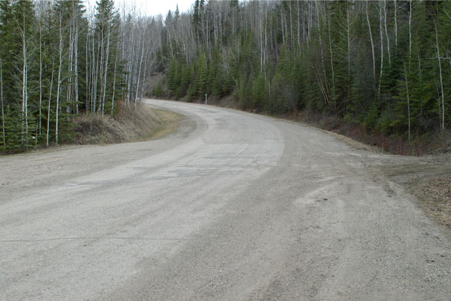
A short distance up the Alaska Highway from Dawson Creek there is a sign posted turnoff onto the “Old Alaska Highway” that takes you along a stretch of the unimproved highway (it’s a mixture of gravel and hard surface but quite drivable) to the Kiskatinaw Bridge in the Kiskatinaw Provincial Park. There is an extremely detailed guide to be found here. The Kiskatinaw River is about 20 miles from Dawson Creek and posed an early problem for the highway builders. The location of the bridge site, near a hairpin turn on the river, required the construction a 190 foot long curved wooden bridge with a banked roadway. It is the only curved, banked trestle bridge remaining in Western Canada and is still open to traffic. Because of the bridge’s maximum 25-ton capacity large vehicles had to avoid the bridge and ford the river instead. This proved both inconvenient and rather risky in winter so in 1978 a new road was built that bypassed the bridge. This bypass ensured the survival of the original bridge. This first photograph shows the road through the Kiskatinaw Provincial Park to the Kiskatinaw Bridge. Originally all of the Alaska Highway would have looked like this. |
 |
|
|
|
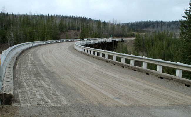
The bridge showing its 90 degree bend and the wooden roadway. |
 |
|||||
|
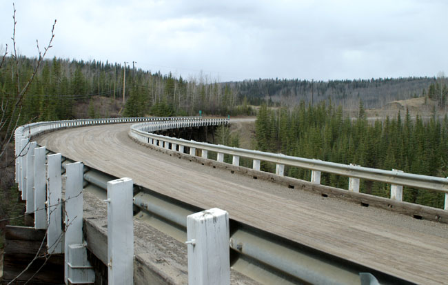
Another view of the bridge from a point higher up on the slope to the left, the banked bridge deck is just about visible. The guard rail attachments don’t fill one with excessive confidence. |
|||||
 |
|||||
|
A look down into the Kiskatinaw River showing the wooden trestles that hold the bridge up. |
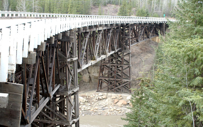 |
|
Having driven over the bridge this is the view looking back, the curve in the roadway and the bridge are clearly visible. |
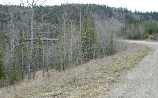 |
|
Once over the bridge there are plenty of signs to let you know where you are (the centre on is shown enlarged below). The right hand post is “Historic Mile 21” a style of marker used along the highway. |
||||
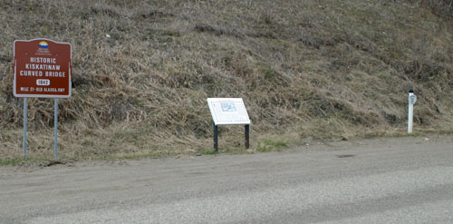 |
||||
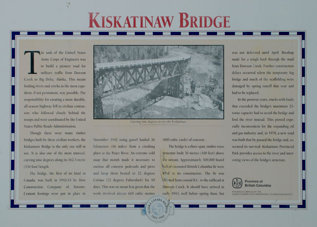 |
||||
|
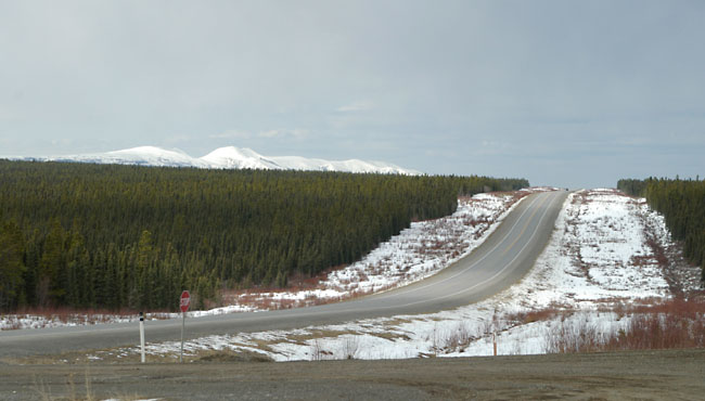
At the end of the loop you return to the present day Alaska Highway which is wider and straighter that the old road. |
 |
|
At this point I turned right and headed north for Alaska. The snow at the side of the road (and the snow covered mountains in the distance) made it difficult to remember it was actually early May. |
| [New Wildwood] [Contents] [Route 66] [Western Odyssey] [South East USA] [Round the World] [Why Wildwood?] [Site Status and News] |
