|
|
|||||
 |
 |
|
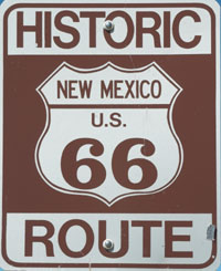
From Texas Route 66 takes you into New Mexico where, unfortunately, long strips of the road have disappeared under the Interstate. This becomes more and more common as you go west. However, there are still many mile of the original road to drive on, though some of this consists of isolated pieces such as that to be found at Interstate exit 267. |
 |
|
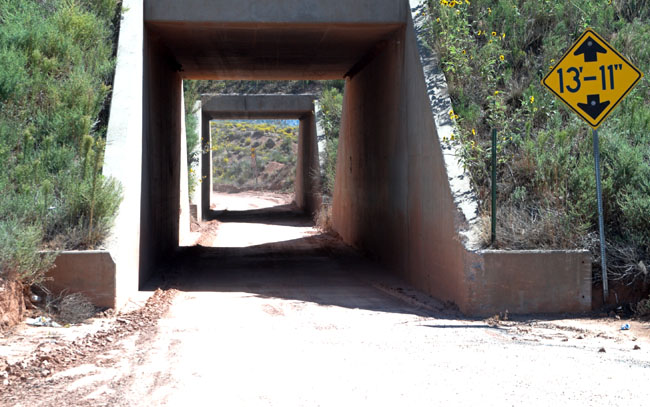
Route 66 runs south of the Interstate for about 50 miles then changes to the northern side through this narrow tunnel with tight 90 degree bends each side. Going through in a car was no fun, I’d rather not try it in anything bigger! I also really like the precision of the maximum height sign. |
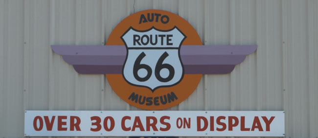 |
|
|
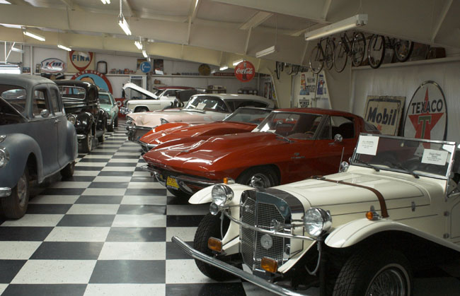 |
|
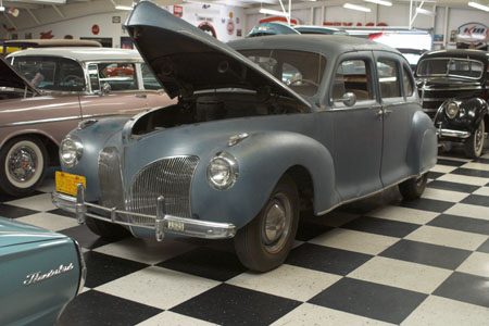
This is a view of a part of the main showroom, there are cars from the 30’s, 40’s, 50’s and 60’s visible. My personal favourite is the blue car on the left (though I wouldn’t say no to the early second generation Corvette second on the right - it has the split rear screen that was only fitted to the first few cars built). |
|
|
||||||||||||||||||||
|
Heading west from Santa Rosa you are largely travelling on the Interstate for the next 80 miles with just the occasional opportunity to get off and drive on a short length of the old road. |
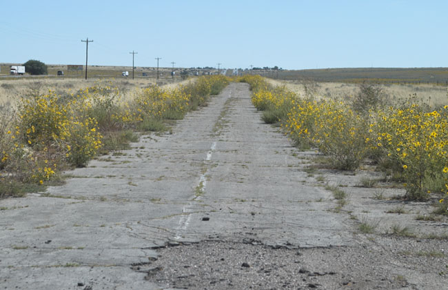 |
|
This is a typical section of the old road that no longer goes anywhere, this particular piece is a dead end in another mile or so. Other sections are in a much worse state the surface having now completely broken up so it is effectively the dirt road it was in the 20s. |
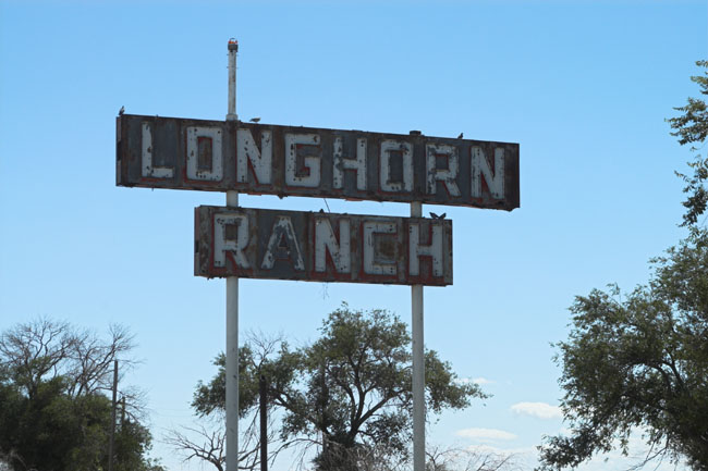 |
|
As with the road many of the businesses have gone leaving only their sign to mark their former existence. |
|
|
||||||||||||||||
|
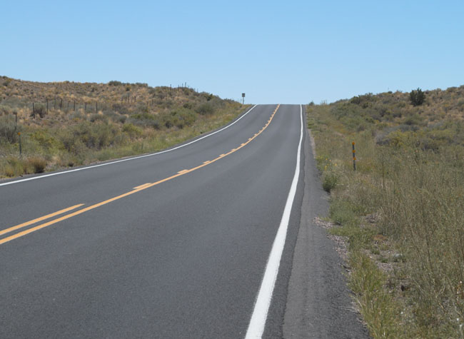
Once you are outside Albuquerque the road returns to normal, i.e. there seems to be no one else out there with you. |
 |
|||||
 |
|||||
|
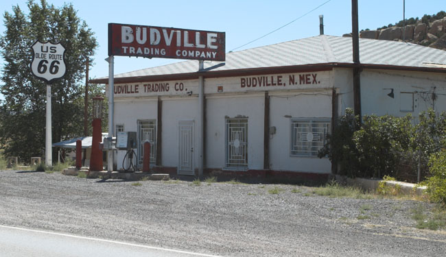
This is the old Budville Trading Company building, closed but unlike so many others on Route 66 still being maintained in good condition. |
|||||
 |
|||||
|
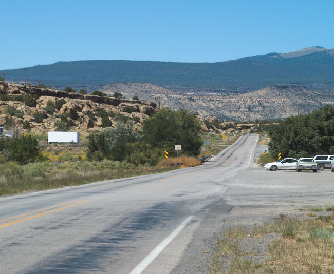
Once past Budville it's back to the open road but you start to see the mountains in the distance, a big change after the largely flat and featureless terrain encountered so far in Texas and New Mexico. |
 |
|
|
|
Next it’s west to Arizona |
|||
|
Go to top of page |
|||
| [New Wildwood] [Contents] [Route 66] [Western Odyssey] [South East USA] [Round the World] [Why Wildwood?] [Site Status and News] |
