|
|
|||||
 |
|
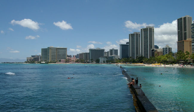
I took TheBus to the eastern side of Waikiki which is the main tourist area. The first photograph is the classic view looking west from the “pier” that sticks out into the sea, you can see the high level of development. If you look carefully behind the first group of yellow beach umbrellas there are trees etc. but no buildings. This is the Fort DeRussy Park (see next page). |
||
 |
||
|
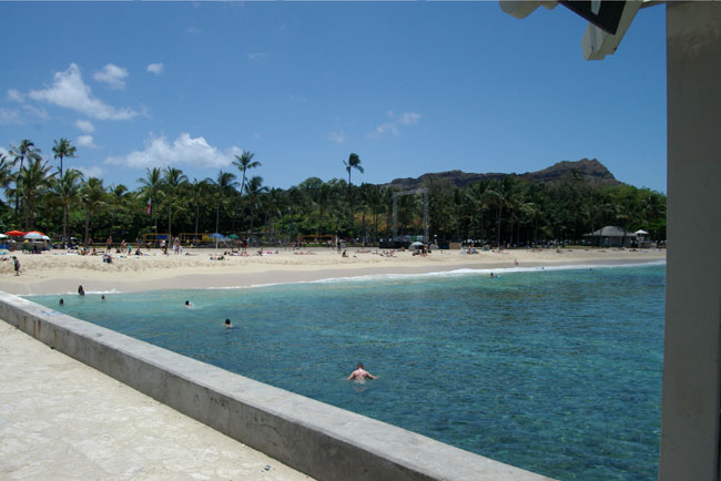
A view looking just to the east of the “pier”. in the background can be seen Diamond Head, a volcanic tuff cone. Known as Lēʻahi it was given its current name in the 19th Century by British sailors who mistook calcite crystals embedded in the rock for diamonds. |
 |
|||||
|
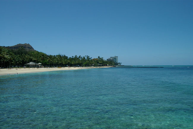
A look along the beach looking to the east with Diamond Head and some other developments in the distance. |
|||||
 |
|||||
|
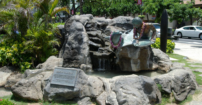
Just across Kalakaua Avenue from the beach area and on the edge of the Honolulu Zoo and several parks are a number of interesting statues and structures. This is the Makua and Kila statue and fountain, they are based on characters from a childrens story. |
 |
|
|
|
|
|
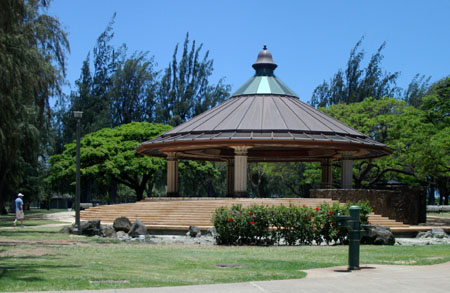
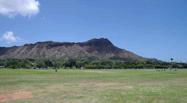
Refreshed, I set off along Kalakaua Avenue heading east in the general direction of Diamond Head, seen here looking across one of the parks. |
 |
|
|
|
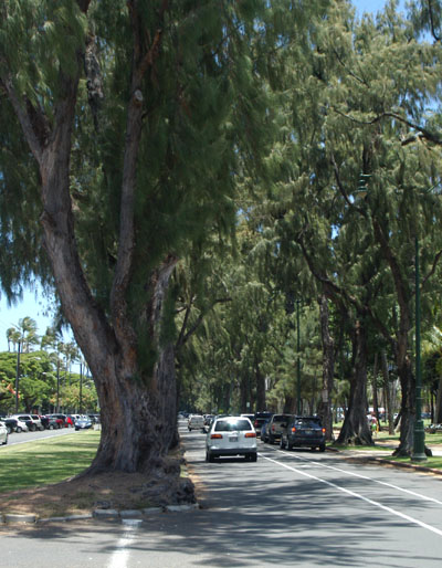
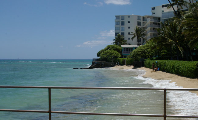
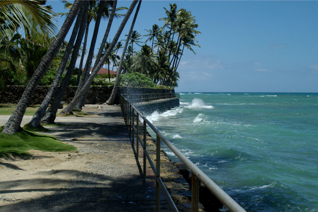
As you walk towards Diamond Head you encounter a number of small parks among the houses and apartments. The first picture is is the view from Leahi Beach Park looking west and the second is looking east. While there is a small beach on the east side to the west there is a sea wall and a walk way to the west. I was going to explore but the waves were breaking over the walkway so I continued along what is now Diamond Head Road. |
 |
 |
|
|
|
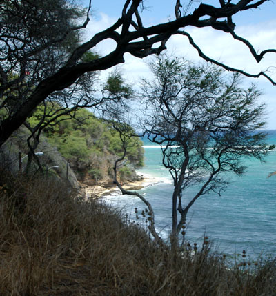
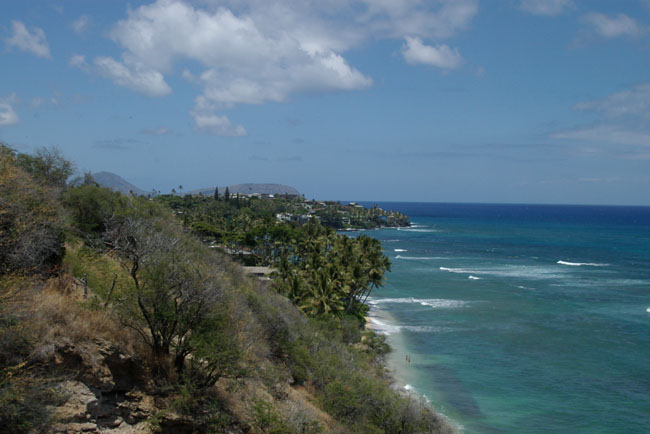
Finally I reached a headland where you could look out to the west and see the light blue of the coastal waters and the darker blue of the Pacific Ocean. |
 |
| [New Wildwood] [Contents] [Route 66] [Western Odyssey] [South East USA] [Round the World] [Why Wildwood?] [Site Status and News] |
