|
|
|||||
 |
|
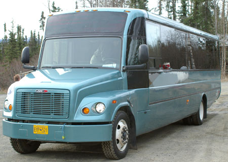
Having made it to Fairbanks my first action was to go further north to the Arctic Circle. It’s about 200 miles from Fairbanks to the Arctic Circle along Highway 2 and then Highway 11 (the Dalton Highway) which runs from about 80 miles north of Fairbanks all the way to the Arctic Ocean. The route was designed for trucks rather than for personal vehicles, much of it is gravel and where there is a surface it is frequently breaking up due to the level of traffic and the difficulty of repair. Given the above, plus the fact that most hire car companies explicitly prohibit the use of their vehicles on a number of Alaskan roads, including the Dalton Highway I decided to take a tour bus. There are a number of companies offering day trips to the Arctic Circle, I chose to go with Northern Alaska Tour Company who have more details of this (and other trips) on their website. |
|
|
|
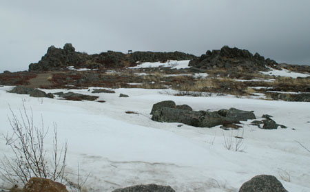
The view from the coach as we got out into the open country. |
 |
|
|
|
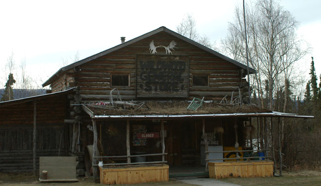
This was our first stop on the road, the Wildwood General Store (it seems also to be called the Arctic Circle Trading Post) situated in the rural community of Joy, Alaska. We were so early in the season (I believe the tour I was on was the second of the year) that it was still closed. |
 |
||||
|
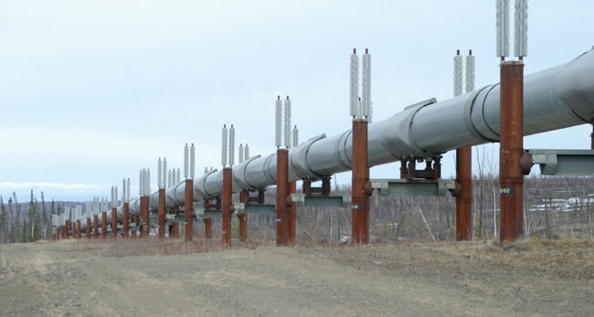
Carrying on north we pulled up next to the Alaska Pipeline to have a closer look at it. The silver things at the tops of the supports are radiators for the passive cooling system designed to keep the permafrost at a constant temperature and so avoid stresses being placed on the pipeline. |
||||
 |
||||
|
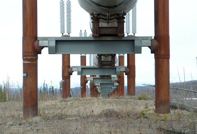
This is a photograph taken standing directly under the Alaska Pipeline, the pipe sits on a cradle which has Teflon pads to allow side to side movement in the event of an earthquake. The pipe is 48 inch in diameter and roughly a half inch thick, it is designed to be resistant to gunshots and has resisted them on several occasions. However, on October 4, 2001, a drunken gunman named Daniel Carson Lewis shot a hole into a weld near Livengood causing a major oil spill (apparently the hole was at a low point in the pipeline and even though all valves were shut gravity forced the oil out). He was sentenced to 16 years in jail and ordered to repay the $17 million cleanup costs. |
 |
|||||||
|
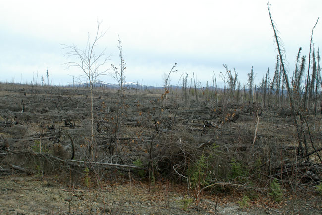
The pipeline is also designed to survive wildfires, the aftermath of a typical one is shown below. The pipeline was not damaged and did not even have to shut down |
|||||||
 |
|||||||
|
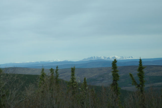
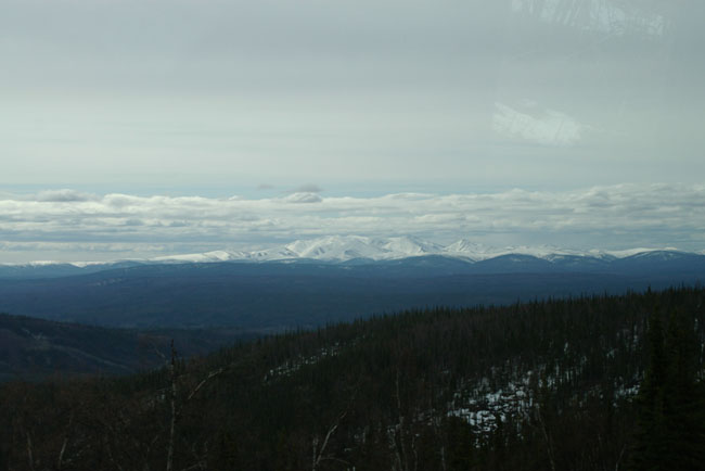
Running along the road you can reach points with spectacular views like this with the snow covered mountains in the distance . |
|||||||
 |
|||||||
|
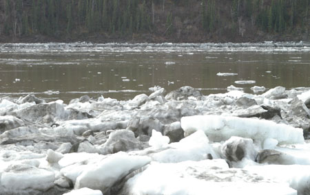
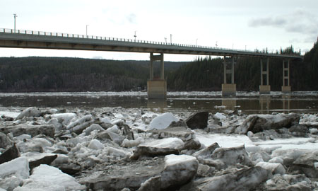
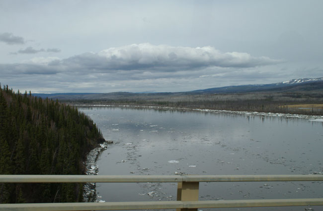
This is the point where the road and the pipeline cross the Yukon River, here we are on the The Yukon River Bridge (officially called the E. L. Patton Bridge). The Yukon River had been completely frozen until shortly before, the white things in the river are big blocks of ice (the bridge is over 2,000 feet long). |
 |
|
|
|
|
|
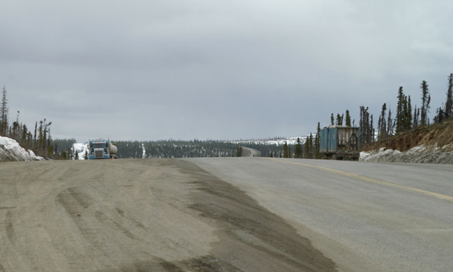
A view of the Dalton Highway from a pull in about half way between the Yukon River and the Arctic Circle. |
 |
|
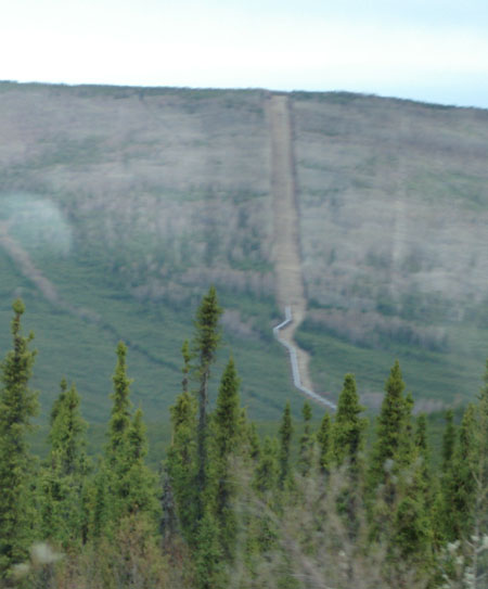
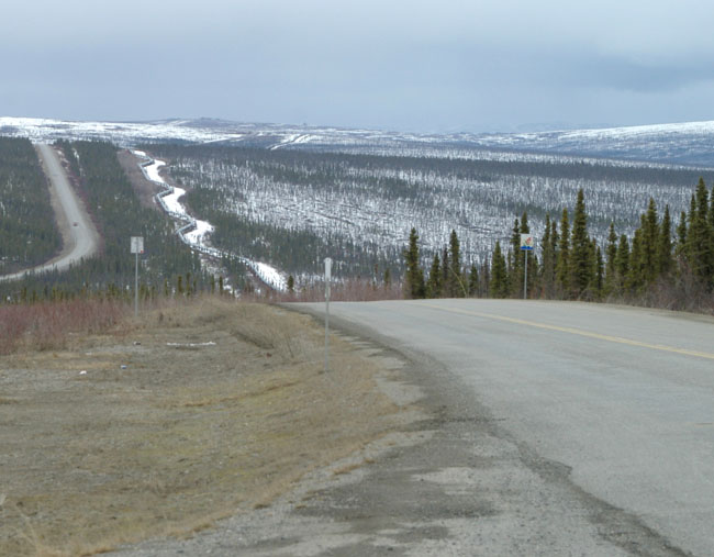
A view looking down on the road and the pipeline, the zig-zag layout of the pipeline is clearly visible. |
 |
|
|
|
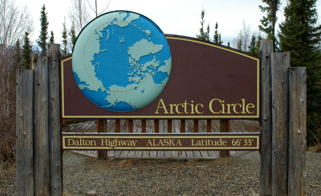
Here is the Arctic Circle sign indicating we had reached our destination. |
 |
|
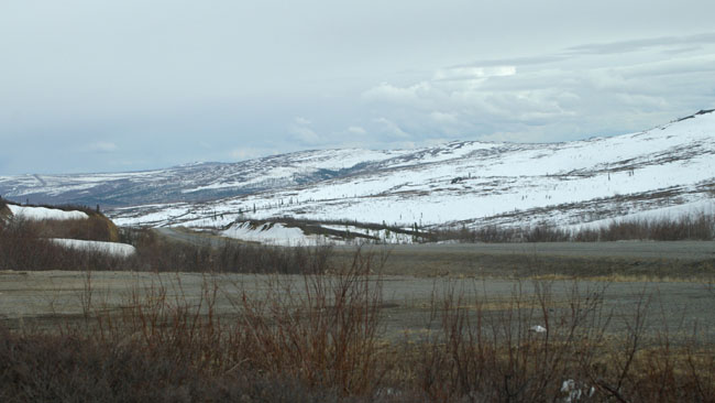
This was the view north from the Arctic Circle, I was glad I was heading south back to Fairbanks. |
 |
| [New Wildwood] [Contents] [Route 66] [Western Odyssey] [South East USA] [Round the World] [Why Wildwood?] [Site Status and News] |
