Web Design
Barkerville

I continued down the Alaska Highway to Dawson Creek and then continued south heading for Vancouver.  About half way there was a turn off onto Highway 26 for Barkerville, a restored gold rush town now operated as a tourist attraction.  I had seen signs for it on my way north but it was closed and had only just opened for the season as I came south.

The road to Barkerville runs through Wells, a small mining and tourist town a few miles before the highway's terminates at Barkerville.

BK01-IMGP4741(R)

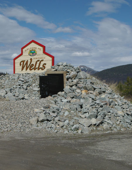
As you enter Wells there is this reminder of its mining past.

Wells once had a population of 4,500 but the closure of the gold and other mines in 1967 took its toll and today it has a population of just 300.

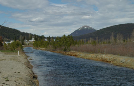
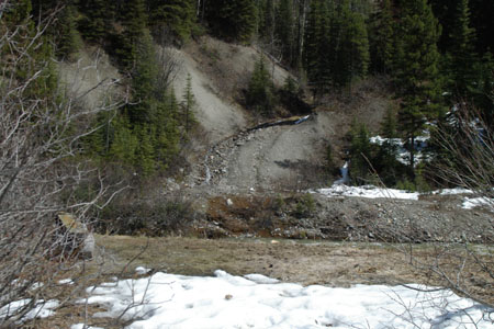
The now placid river feeding into Jack of Clubs lake.

BK02-IMGP4740
BK03-IMGP4739

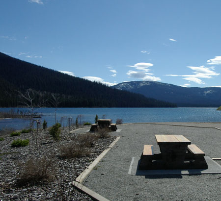
A view over Jack of Clubs lake, surely a very different scene from when Wells was at its peak.

Continuing along Highway 26 you reach Barkerville, you can’t miss it for two reasons - first the road stops here and secondly there are plenty of signs to tell you that you have arrived (though they are actually useful).

BK04-IMGP4698(R)

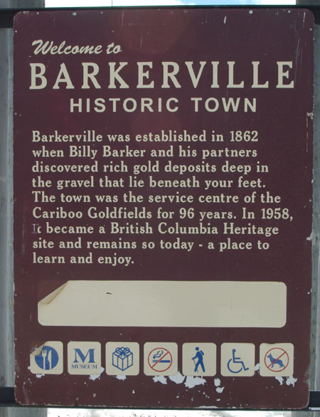
The first sign gives a potted history of the town.

The town has its own website.

Barkerville is one of the few historic sites where you can stay overnight.

It also has a number of restaurants and shops and even an opportunity to try panning for gold.

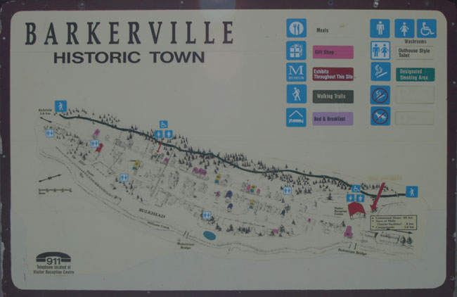
The next sign you meet is a useful map of the town, basically it runs along Williams Creek which supplied the water to wash the gold out of the soil and rock.  It appears that the town was flooded regularly but was eventually built above the level of creek on all the spoil from the gold mines (one guide said it was six feet higher than it originally was).

BK05-IMGP4699

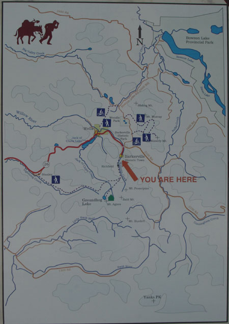
The last of the signs gives an indication of where the town is located and the various trails that take you into the surrounding countryside.

BK06-IMGP4700(R)

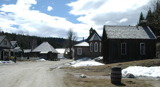
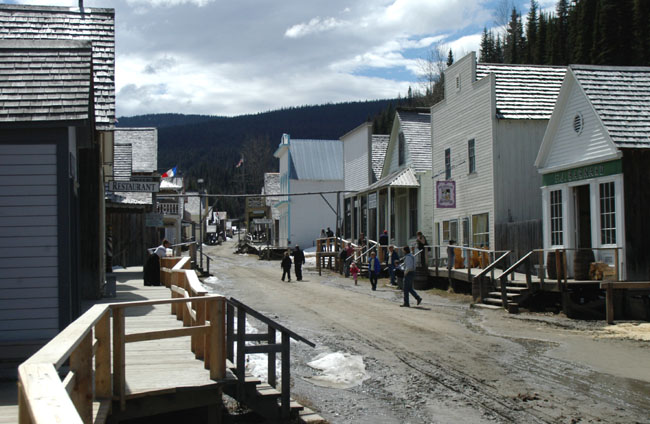
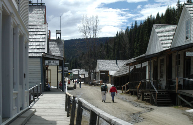
The next three photographs are vies of the main street starting from the entrance.

BK07-IMGP4701
BK08-IMGP4708
BK09-IMGP4711

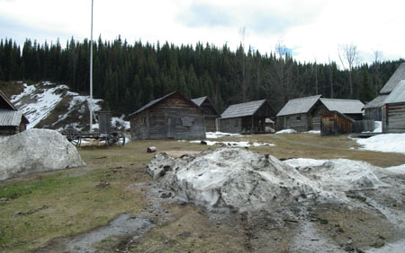
Off to the side of the main street are the huts where the majority of the gold miners lived.

BK10-IMGP4715
BK11-IMGP4709

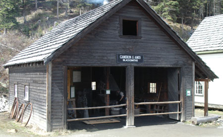
Most of the buildings hold some form of business, here is Cameron and Ames the town blacksmith.

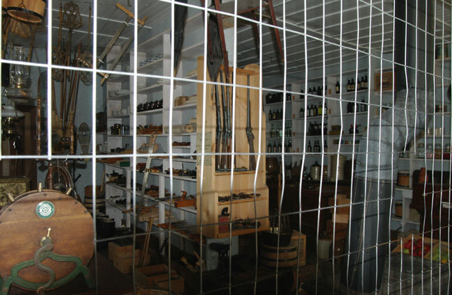
This store (closed during my visit) is fitted out as it would have been when the town was at its peak.

BK12-IMGP4712

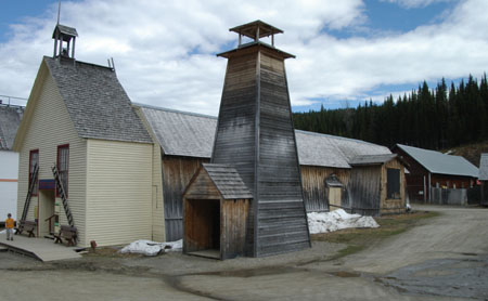
As well as floods the town caught fire from time to time, in September 1868 Barkerville was totally destroyed.  As a result fire watch towers like this one were built and ladders were ready to allow the roofs of tall buildings to be reached.

BK13-IMGP4725

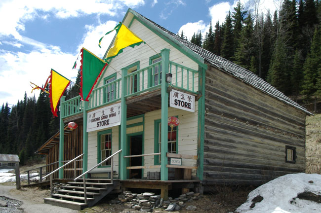
Chinese were an important part of Barkerville life for almost a hundred years. They established a number of businesses including general stores that sold groceries, clothing, hardware, and mining tools.

BK14-IMGP4717

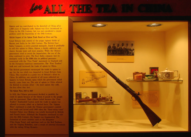
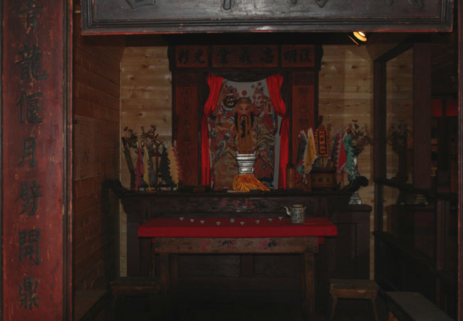
The part the Chinese community played is covered in a number of displays, the next two photographs are from these.

BK15-IMGP4723
BK16-IMGP4724

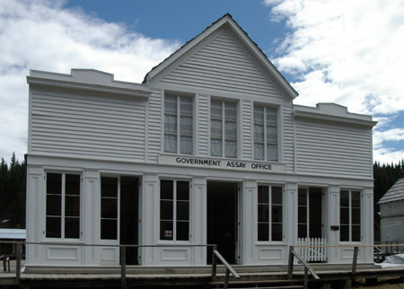
One of the most important buildings in the town would have been the Government Assay Office where the gold was tested for purity.

BK17-IMGP4729
BK18-IMGP4732

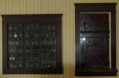
The Barkerville Post Office is still in operation (though it was closed when I visited).

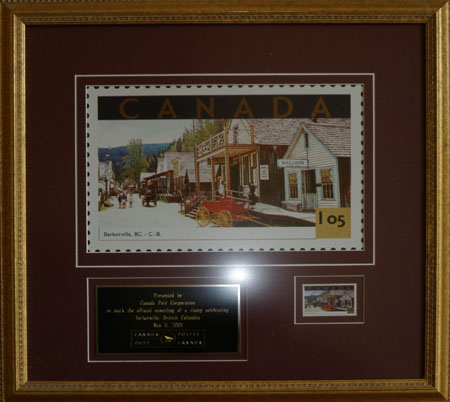
In 2001 Canada Post issued a Barkerville commemorative stamp and the Post Office had this special plaque. 

BK19-IMGP4733
BK20-IMGP4702

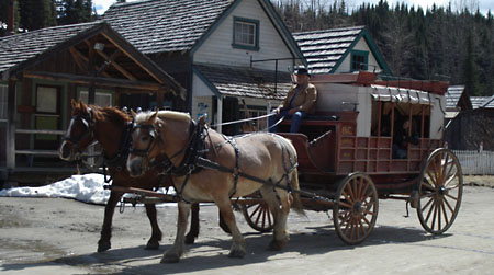
When the season is in full flood there are a number of different types of carriage ride available, when I was there this was the only one going.

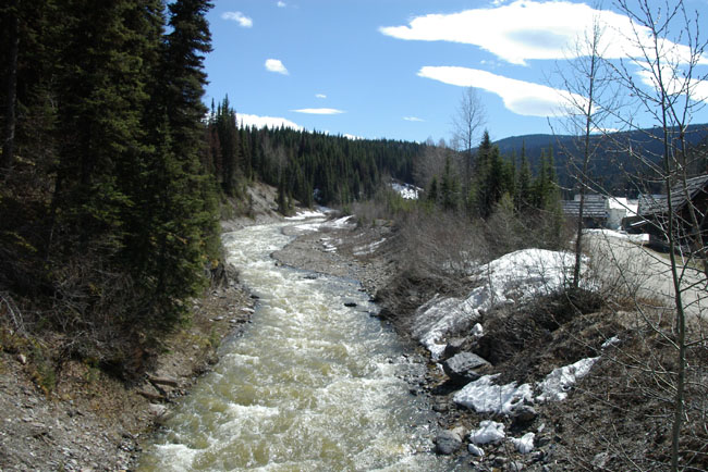
A view of Williams Creek from one of the bridges across it with the town over on the right.

BK21-IMGP4736

One of the many trails that lead out of Barkerville into the countryside.  However, just round the bend there was a “Watch Out for Bears” sign so I decided that discretion was called for.

BK22-IMGP4704
[New Wildwood] [Contents] [Route 66] [Western Odyssey] [South East USA] [Round the World] [Why Wildwood?] [Site Status and News]