|
|
|||||
 |
|
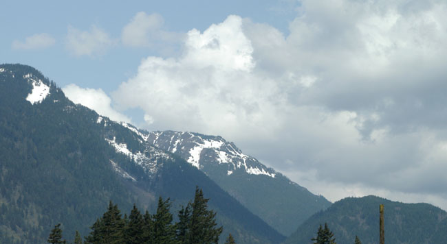
Leaving Langley behind me I set off northward along BC 97 in the direction of Dawson Creek and the start of the Alaska Highway, it’s about a 700 mile trip. After about 70 miles I stopped at Hope for a coffee, this was the view north that greeted me. Even though it was early May and I was relatively “south” there was plenty of snow on the mountains. |
 |
|
|
|
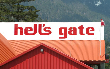
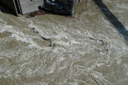
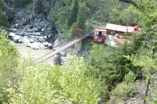
Hells Gate is the name given to an abrupt narrowing of British Columbia's Fraser River, the towering rock walls of the Fraser River plunge toward each other forcing the waters through a passage only 100 feet wide. This is a view down from the upper terminal of the Hells Gate Airtram that starts at a point close to the highway and descends to its lower terminal on the opposite bank of the Fraser River. It was built opened in 1971 and each “cabin” can carry 25 people along with an attendant (I was so early in the season that I was the only passenger each way) . The terminals are around 1,000 feet apart and the height difference is about 500 feet. They have a website, click here. |
 |
|
|
|
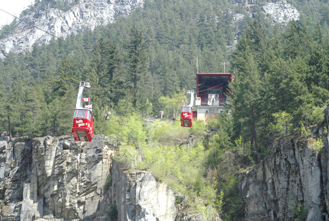
This is a view from the lower terminal looking up and it shows the cabins of the Hells Gate Airtram in action, it is quite impressive. |
 |
|
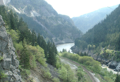
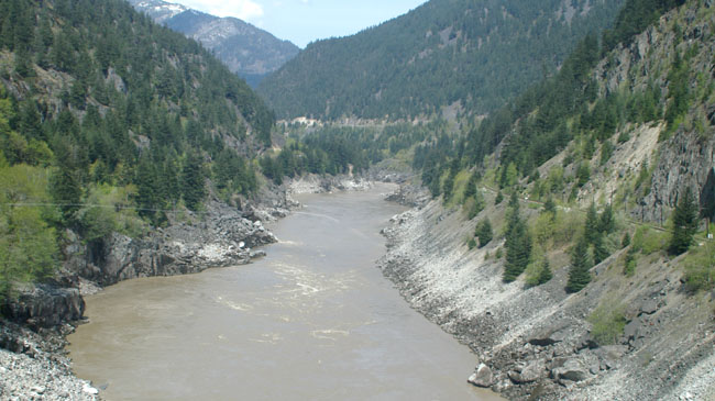
Here is a view looking north along the Fraser River taken in mid-flight from one of the cabins, it looks very placid. |
||
|
|
||
 |
|
|
|
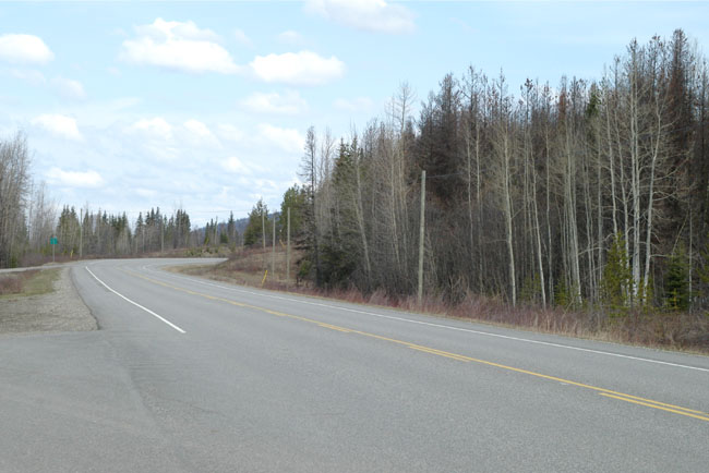
After the excitement of Hells Gate it was back on the road north, I still had about 600 miles to go to get to Dawson Creek. One good thing is the lack of congestion, below is a typical view of BC 97 taken some distance north of Hells Gate. |
 |
|
Rather oddly as I made my way north the weather improved with blue skies but it became noticeably cooler. |
|
|
||||||||||||||||||||
|
The above was pretty much typical of the route along BC 97 all the way to Dawson Creek, the only place of any size along the way was Prince George. However, there are smaller places along the way like Williams Lake and others even smaller with names like 150 Mile House which was an important stop on the Cariboo Wagon Road during the Cariboo Gold Rush (BC 97 is the Cariboo Highway). |
| [New Wildwood] [Contents] [Route 66] [Western Odyssey] [South East USA] [Round the World] [Why Wildwood?] [Site Status and News] |
