|
|
|||||
 |
|
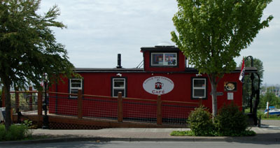
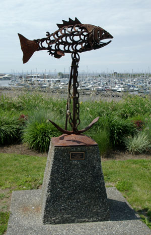
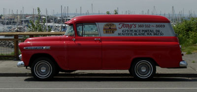
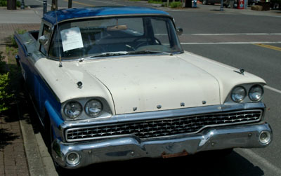
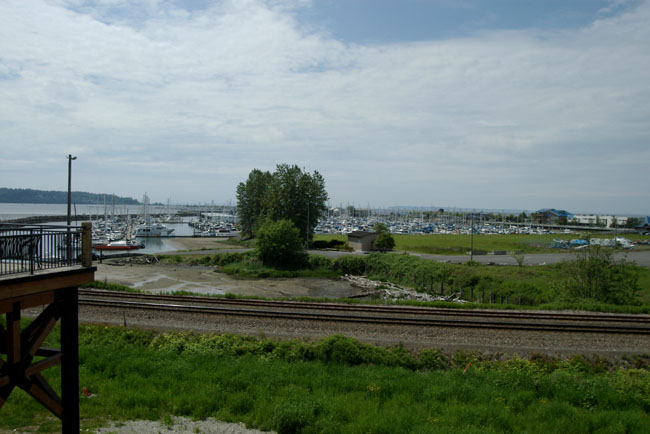
As I headed north from Seattle towards the Canadian Border I felt the need for coffee to fortify myself. Fortunately just south of the border is the town of Blaine. Blaine was once a fishing and industrial area with the world's largest salmon cannery, the site has now been converted to a waterfront destination resort on Semiahmoo Spit. There were also several (long gone) saw mills operating on Blaine's waterfront, and much of the lumber was transported from here to help rebuild San Francisco following the 1906 fire. Today Blaine's has two large marinas which are home to hundreds of recreational sailboats and yachts but a small number of local fishers provide visitors with dockside sale of fresh salmon, crab and oysters. As a link with the past the MV Plover that conveyed workers to and from the cannery in the 1930s today ferries tourists from Blaine to the resort on Semiahmoo Spit. Here is a view of the waterfront today. |
 |
|
|
|
|
||||||||||||||||||||||||
|
|
||||||||||||||||||||
|
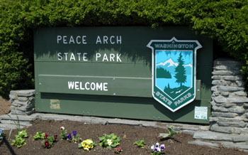
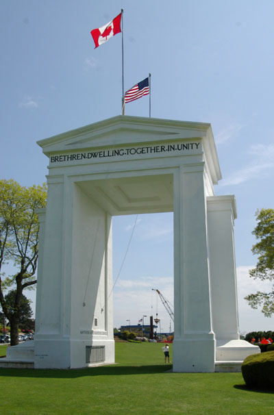
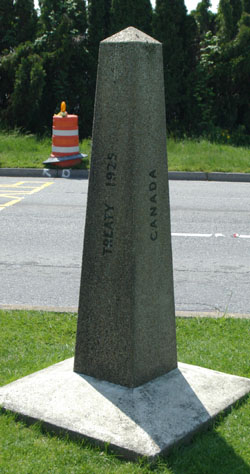
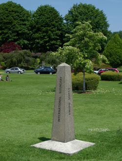
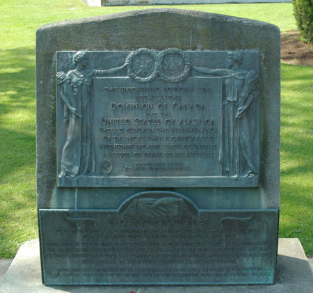
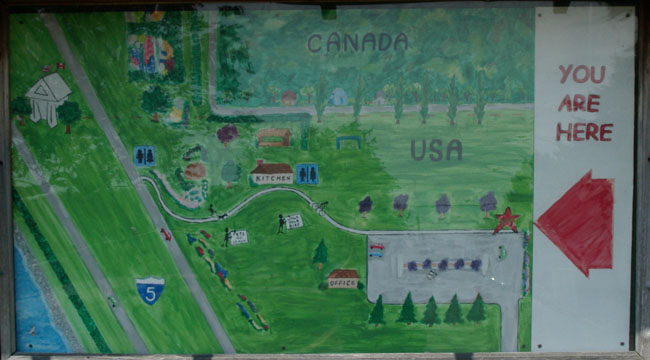
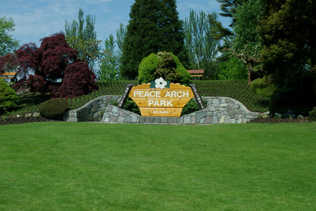
As I approached the border I saw signs pointing to the Peace Arch Park so I decided to explore this before joining the queue of cars going north. Peace Arch Park is a park that straddles the International Boundary between the United States and Canada at the Douglas border crossing where Highway 99 in British Columbia and Interstate 5 in Washington State meet. It is an international park and so has two names, it is the Peace Arch State Park on the United States side of the border and the Peace Arch Provincial Park on the Canadian side. The park contains the Peace Arch that was constructed to commemorate the 100th anniversary of the The Treaty of Ghent that ended the War of 1812. Visitors to the park are free to explore the entire park on both sides of the actual physical border. Approaching from the US side you find this sign. |
 |
 |
|
|
|
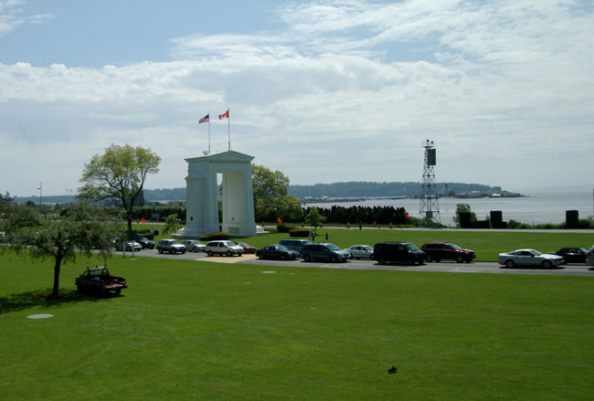
A view across the park towards the Peace Arch looking slightly south east towards Blaine. Everyone is going to Canada - it must be the beer. |
 |
|
|
|
|
||||||||||||||||||||
|
|
|
Then it was time to join the northward migration and go to Canada. |
| [New Wildwood] [Contents] [Route 66] [Western Odyssey] [South East USA] [Round the World] [Why Wildwood?] [Site Status and News] |
